Hydrological and hydrometric studies
Bathymetry, watersheds, modeling, gauging, hydrometeorological stations.
Description
HYDYAM FORAGES offers complete expertise in surface hydrology for development projects, local authorities, consulting firms and international donors. From water body characterization to predictive modeling and stream instrumentation, our team covers the full hydrometric chain with scientific rigor and professional equipment. Our reports meet the requirements of institutional and international partners.
Our process
- 1
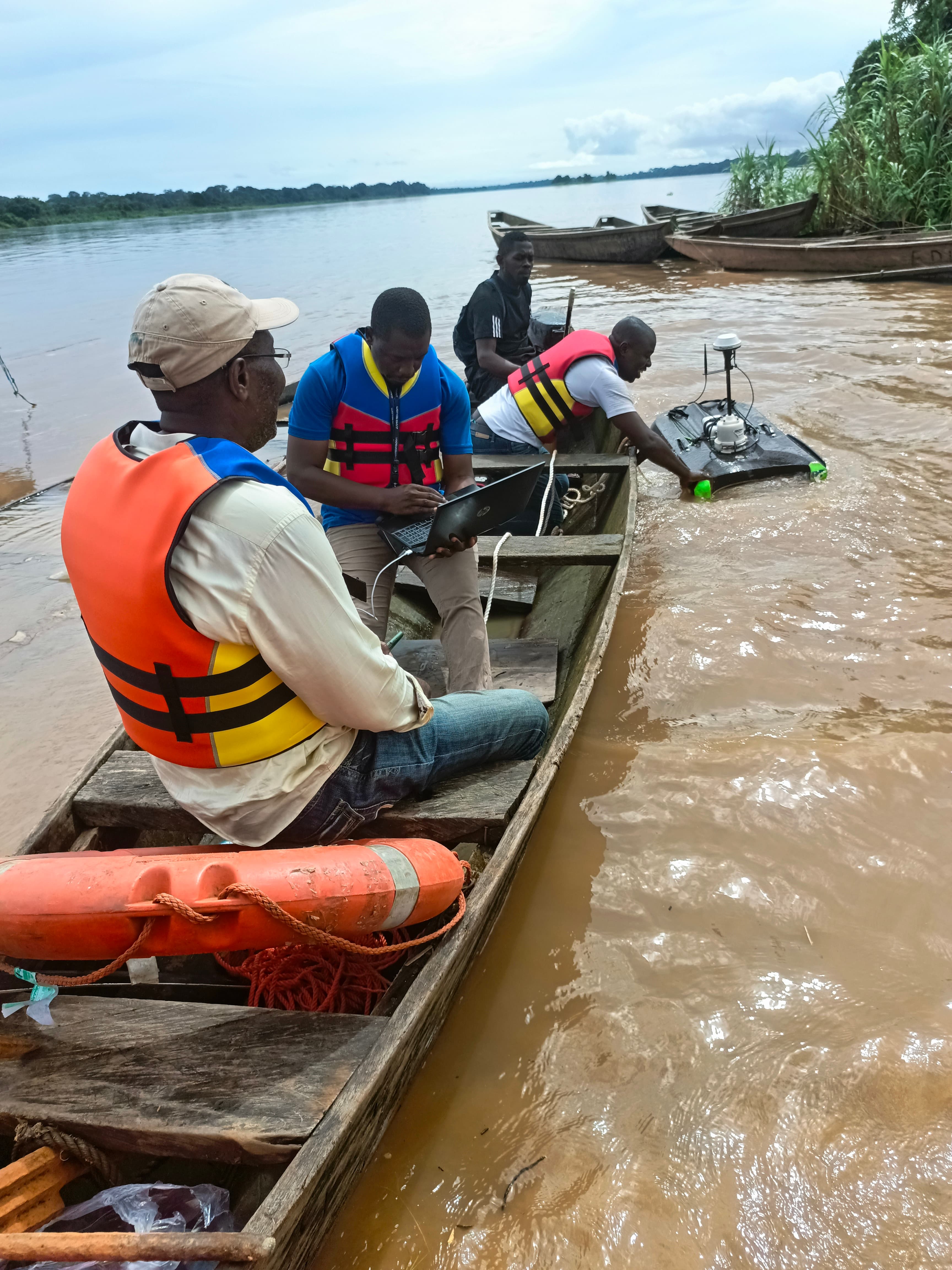
Bathymetry of reservoirs and water bodies (single-beam echo sounders / RTK GPS)
- 2
Watershed mapping (GIS, DEM, delineation, morphometric parameters)
- 3
Integrated Water Resources Management (IWRM) — diagnosis and action plans
- 4
Rainfall-runoff hydrological modeling (HEC-HMS, SWAT, conceptual models)
- 5
Flood zone modeling and mapping (HEC-RAS, hazard maps)
- 6
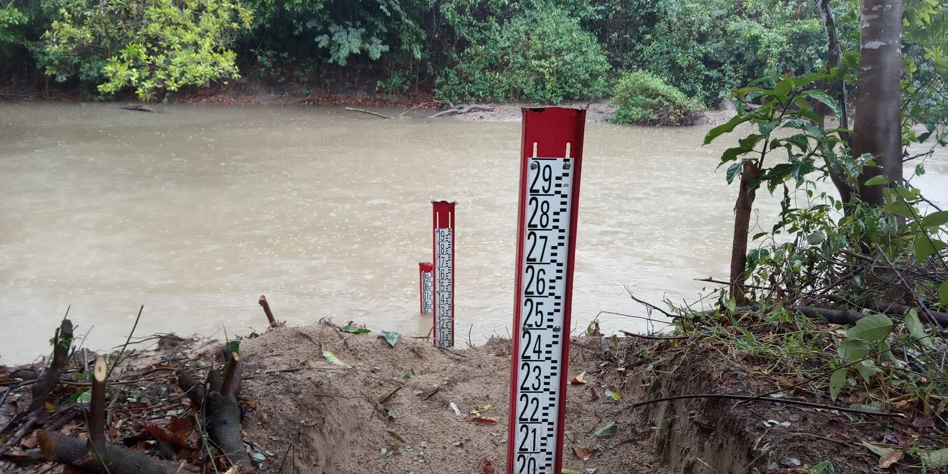
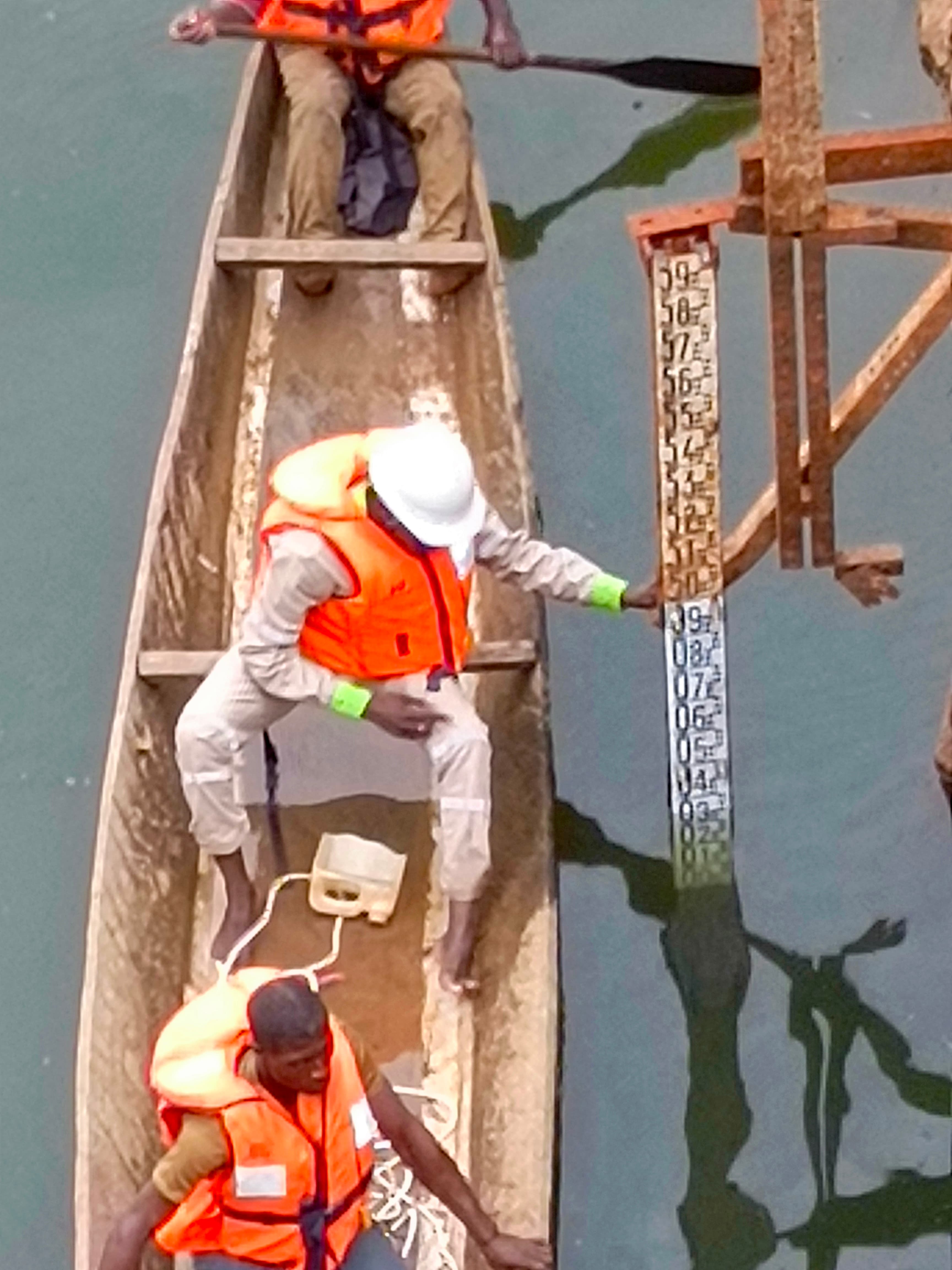
Installation and maintenance of hydrometeorological stations (water-level, rainfall, telemetry)
- 7
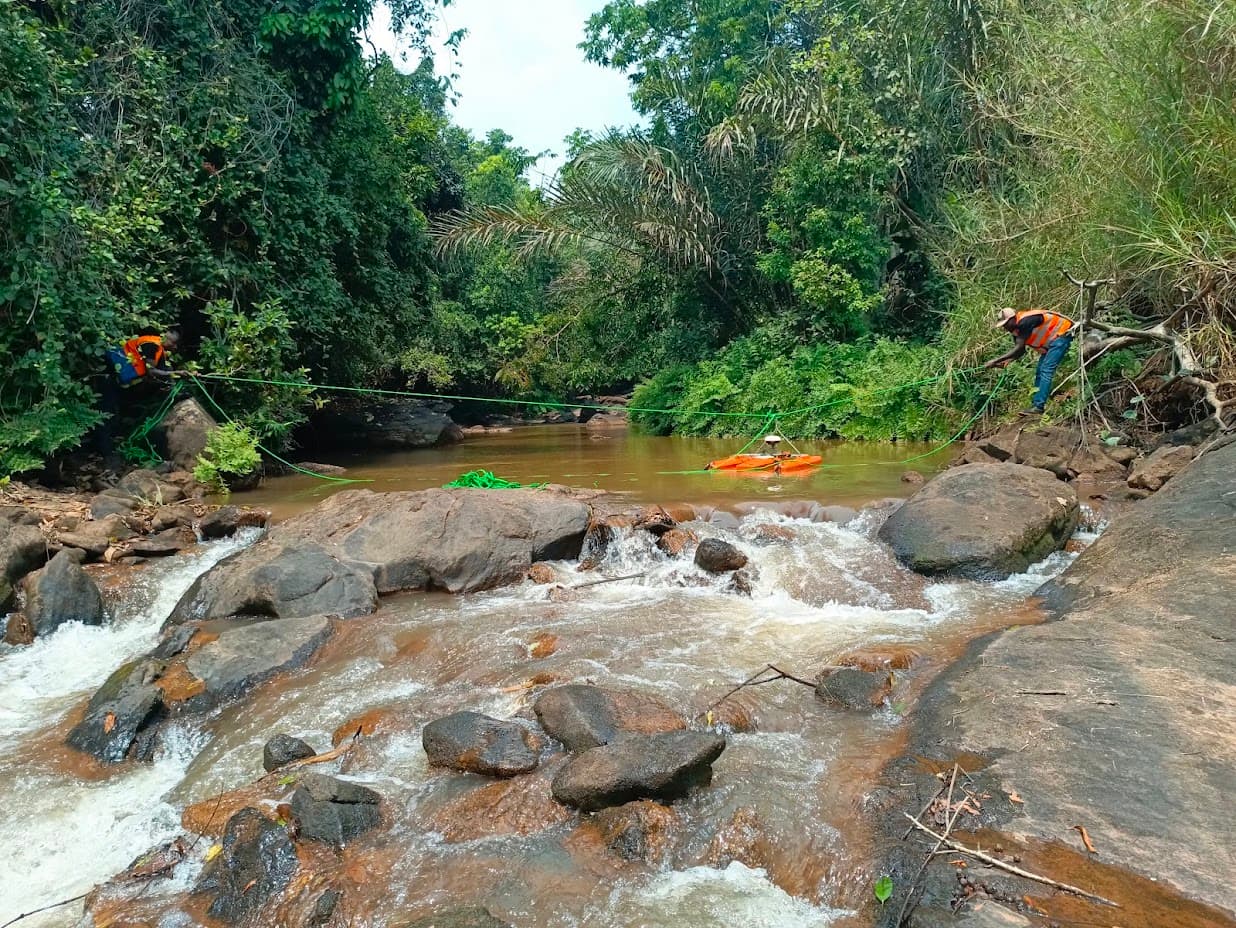
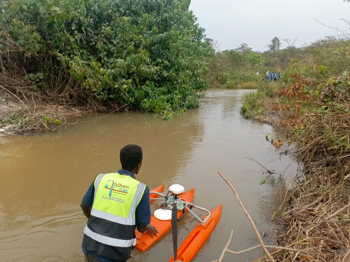
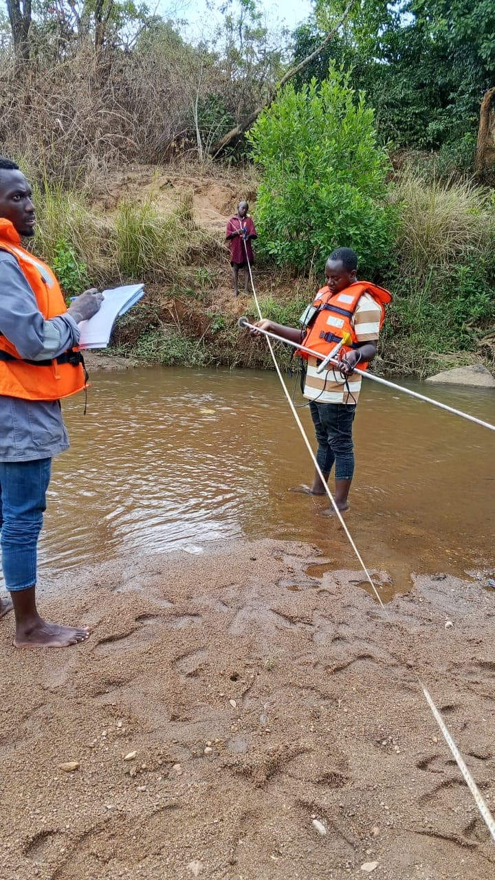
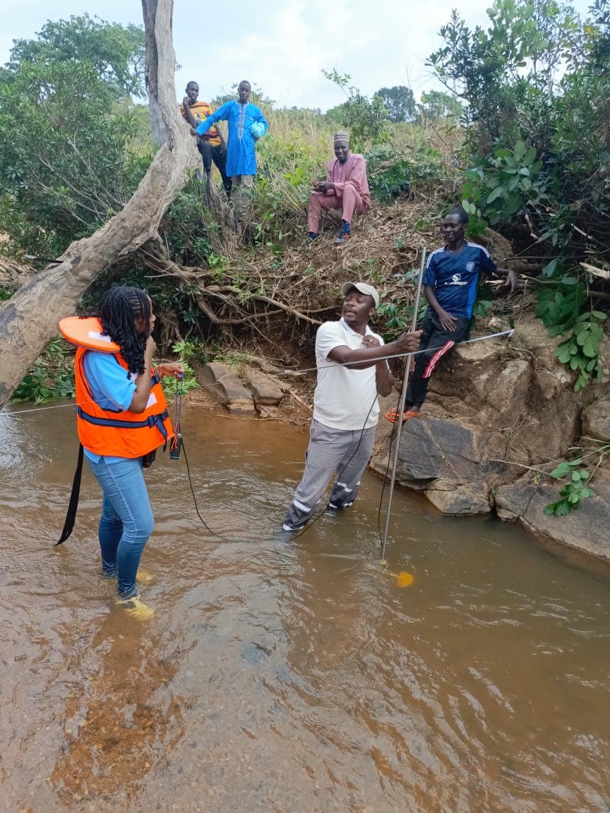
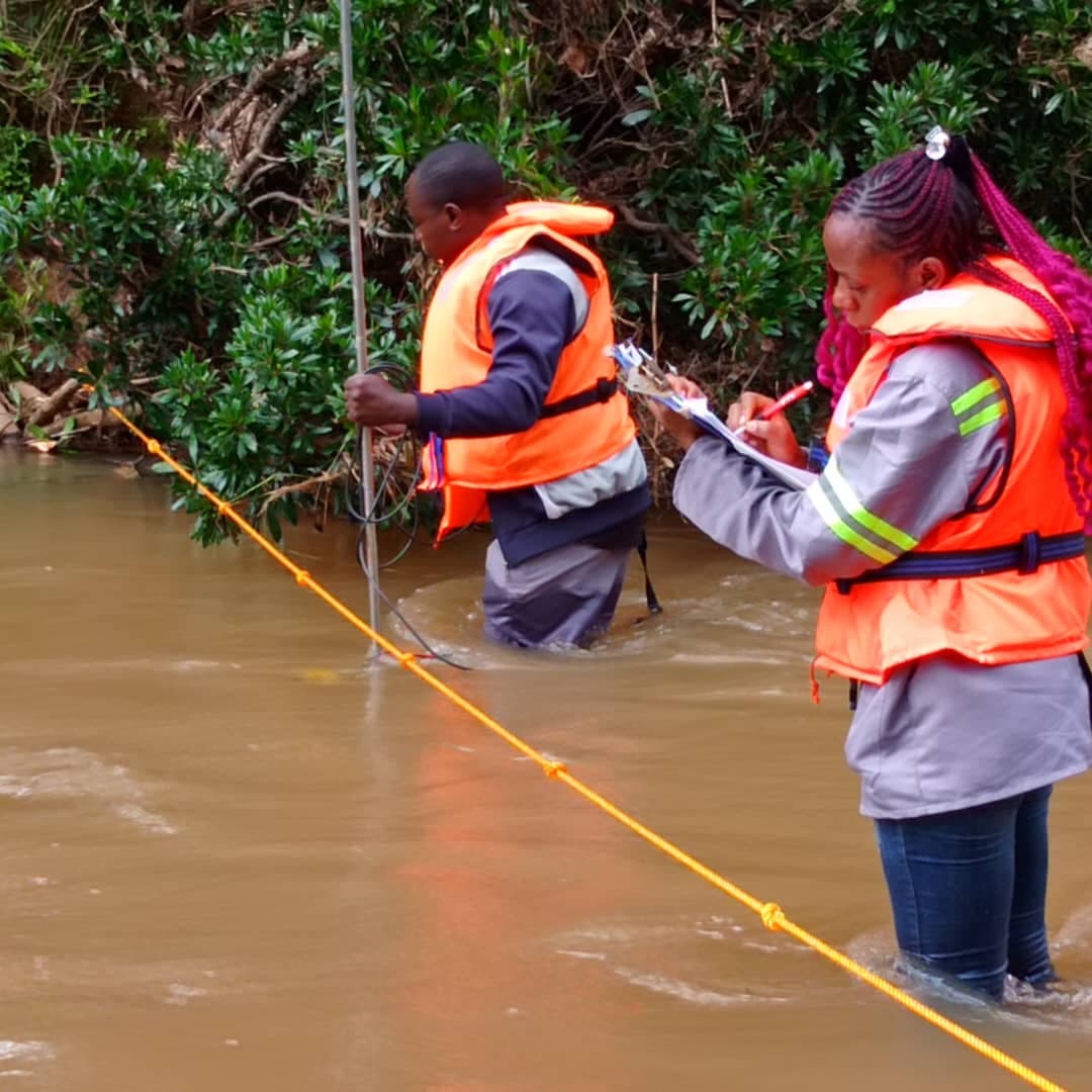
Stream gauging (wading rod, sounding weight, ADCP)
- 8
Audits and inventories of existing hydro-pluviometric networks
- 9
Detailed technical reports and stakeholder briefings
Free interactive tool
Configurateur de station hydrométéorologique
Outil gratuit
Configurateur de station hydrométéorologique
Composez votre station de mesure (pluie, niveau, débit…) et obtenez un budget estimatif.
Mairies, ONG, institutions, agro-industries : configurez la station de suivi hydrométéorologique adaptée à votre projet et recevez immédiatement une estimation budgétaire avec la liste du matériel.
- ✓ Configuration sur mesure
- ✓ Budget immédiat
- ✓ Installation & formation incluses
Our field operations
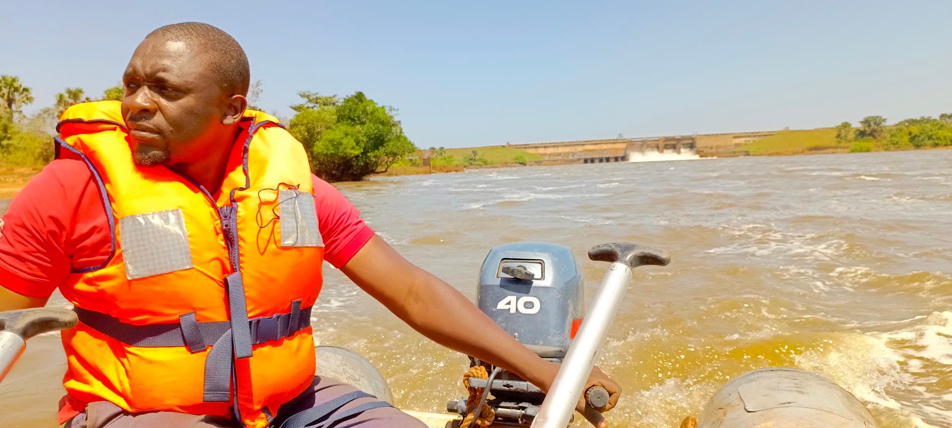
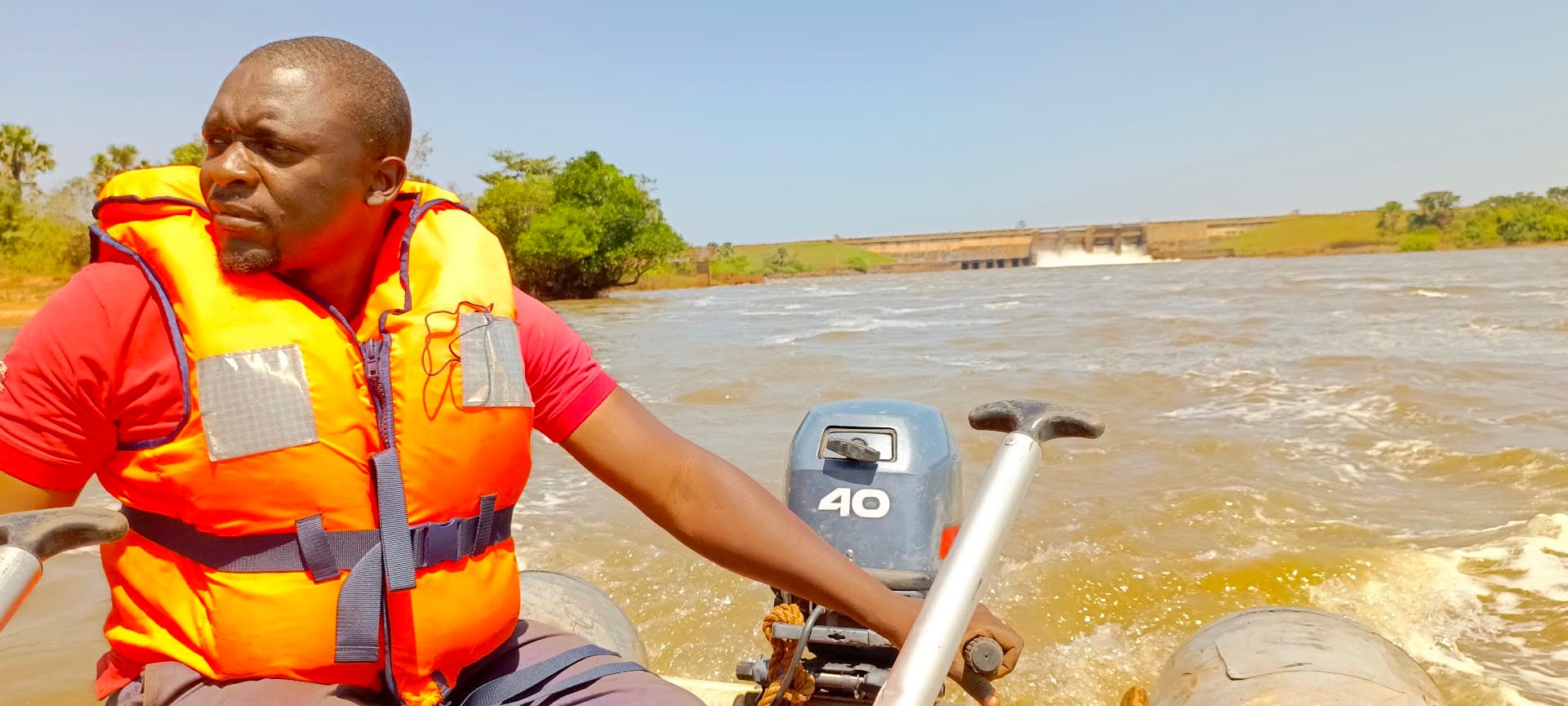
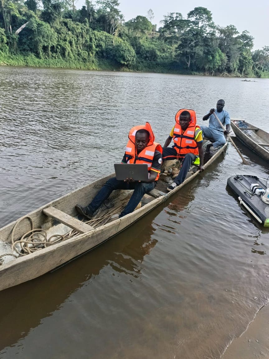
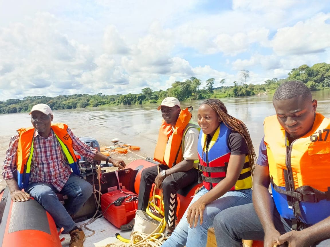
Photos of our teams in action, illustrating our operational expertise.